[ad_1]
WASHINGTON: In a big development, NASA has successfully launched the third in a series of next-generation weather satellites for the National Oceanic and Atmospheric Administration (NOAA).
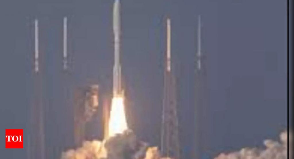
The newest Geostationary Operational Environmental Satellite, GOES-T, was launched on a United Launch Alliance Atlas V rocket from Cape Canaveral Space Force Station.
It has been confirmed that the spacecraft’s solar arrays were successfully deployed and the spacecraft was operating on its own power.
“We at NASA are proud to support our joint agency partner, NOAA, and their mission to provide critical data and imagery to forecasters and researchers tracking hazardous weather,” said NASA Deputy Administrator Pam Melroy.
“While the GOES-R series satellites’ main job is to help with weather prediction, these satellites produce observations that also help with NASA science. Our agencies’ collaboration brings great benefits toward understanding our planet,” she added.
The satellite will be providing continuous coverage of weather and hazardous environmental conditions in the Western Hemisphere. For the unversed, the GOES program predicts space weather near earth that can interfere with satellite electronics, GPS, and radio communications.
“We at NASA feel honored to continue to work with NOAA on this strategic and successful partnership. Besides our work on spacecraft development and launch, NASA supported science teams are looking forward to analyzing the precious data that GOES-T will provide,” said Thomas Zurbuchen, the associate administrator for the Science Mission Directorate at NASA Headquarters in Washington.
Once GOES-T is positioned in a geostationary orbit 22,300 miles above earth, it will be renamed GOES-18. Following a successful orbital checkout of its instruments and systems, GOES-18 will go into service over the U.S. West Coast and Pacific Ocean. This position puts it in a key spot where it can observe weather sweeping in from the west to the east over the U.S. – giving forecasters an upstream view of what is coming.
“This launch continues a 48-year history of NOAA, NASA, industry, and academia working together on geostationary satellite observations,” said John Gagosian, director of NASA’s Joint Agency Satellite Division.
“GOES satellites help us every day. They bring advanced new capabilities to help forecasters better monitor and predict dangerous environmental conditions like hurricanes, thunderstorms, floods, and fires,” Gagosian added.
NASA’s Goddard Space Flight Center in Greenbelt, Maryland, oversees the acquisition of the GOES-R spacecraft and instruments and built the Magnetometer instrument for GOES-T, as well as for the future GOES-U satellite.
NASA’s Launch Services Program, based at the agency’s Kennedy Space Center in Florida, provided launch management for the mission. NOAA oversees the GOES-R Series Program through an integrated NOAA-NASA office, managing the ground system, operating the satellites, and distributing their data to users worldwide. Lockheed Martin designs, builds, and tests the GOES-R series satellites. L3Harris Technologies provides the main instrument payload, the Advanced Baseline Imager, along with the ground system, which includes the antenna system for data reception.
[ad_2]
Source link

